
Chili ZIP Code Coverage
The Monroe County boundary service visibly contains five ZIP polygons that are relevant to Chili: 14428, 14514, 14546, 14623, and 14624. This is a verified candidate set, not a claim that all addresses in each polygon lie in the Town of Chili. Postal codes cross town and city lines, and the research did not locate one official Town-only ZIP list. Use a full address and the municipal parcel record to settle a specific case.
| ZIP | Chili-facing area | Postal context | Verified limitation |
|---|---|---|---|
| 14428 | Churchville labels on Chili parcel examples | Churchville postal area | Postal city does not replace Chili situs |
| 14514 | North Chili | North Chili postal area | Check the individual polygon and address |
| 14546 | Scottsville-facing rural and local addresses | Scottsville Post Office | Full Chili municipal extent was not verified |
| 14623 | Rochester and Chili-area addresses | Rochester postal area | Town boundary needs parcel and map review |
| 14624 | Rochester and Chili Center civic addresses | Rochester postal area | Postal city can differ from the Town name |
The verified map layer has no confirmed ZIP split or realignment history for Chili, and no per-ZIP Town registration count was found. Treat the table as an address-checking guide, not a resident roll.
Chili ZIP Postal Labels
Postal names are the local quirk behind this Chili postal guide. Town Hall is at 3333 Chili Avenue, Rochester NY 14624. An official Chili assessment-roll example at 3824 Chili Avenue has a Churchville 14428 mailing address, while the Monroe parcel card for 2 West Ham Circle uses North Chili NY 14514. These are different postal labels tied to records in the same Town research area.
That distinction matters when comparing sources. A parcel card separates the physical situs from an owner's mailing address, while mail systems use the postal city and ZIP. Neither a Rochester label nor a Churchville label turns the property into a City of Rochester or Village of Churchville record. For a disputed civic address, the research directs the reader to the Town Building or Assessor office and Monroe County GIS.
Note: A postal city is delivery information; confirm a Town of Chili situs with the assessment roll or parcel record.
Chili ZIP Boundary Layer
The County's ZIP boundary service is the right map layer for checking which postal polygon reaches an address. It is not a list of people, and it is not an annexation map. Combine it with the public parcel layer, a parcel or address query, and the assessment roll. County office addresses in Rochester describe where the service is located, not where a Chili person or parcel is located.
The Monroe County ZIP boundary layer is the source for the visible candidate polygons.
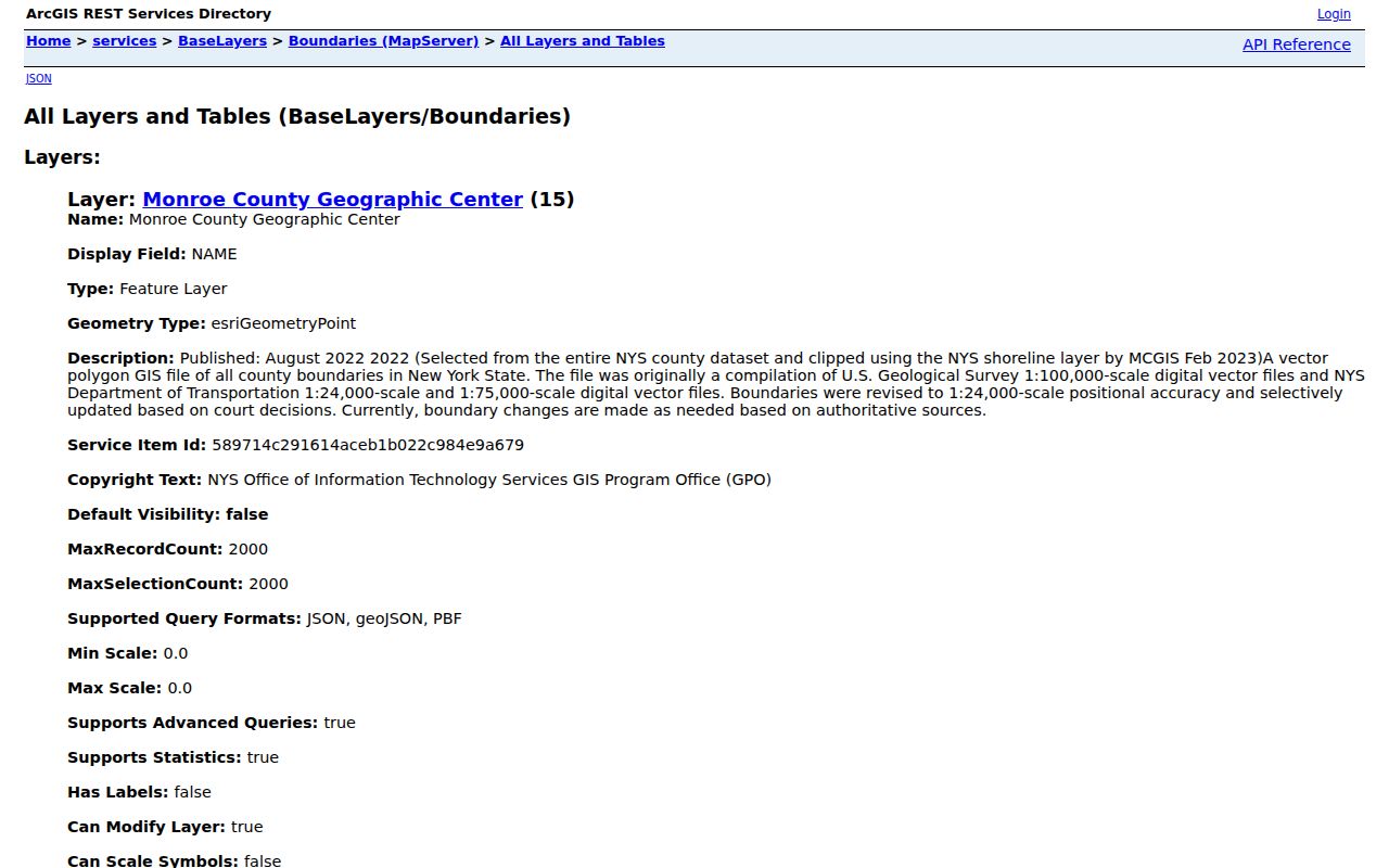
Use the layer to compare the broad postal area with a selected parcel, then retain the record date and source used for the municipal conclusion. At the parcel stage, distinguish a street address from the tax-map identifier. The research gives examples such as 157.02-3-25 and 158.01-3-86, but does not publish an official component legend. Read those numbers as parcel-style references, not street numbers, and use County assessor or GIS material and the Clerk's legal description for the authoritative interpretation.
The order matters. USPS standardizes delivery information, the ZIP layer places the postal polygon, and the parcel record identifies the recorded location. A map edge or a postal-city label should trigger a second check, not a conclusion that an address has moved into another municipality.
Chili ZIP USPS Check
Use the USPS ZIP Lookup first to normalize a mailing address. The official form supports address-to-ZIP, city-and-state-to-ZIP, and ZIP-to-cities modes. USPS says that some multiple matches need unit details and that a standardized result is not a municipal-boundary determination. That limitation is especially important for Chili's Rochester, Churchville, North Chili, and Scottsville labels.
| USPS field | Requirement | Use in a Chili address check |
|---|---|---|
| Company | Optional | Leave blank unless part of the mailing address. |
| Street Address | Required | Enter the full delivery street information. |
| Apt/Suite/Other | As applicable | Add unit detail when USPS presents multiple matches. |
| City | Required | Use the postal city supplied for the mailing check. |
| State | Required | Select New York. |
| ZIP | Optional | Use it to test or refine the postal result. |
Save the standardized postal result, then compare it with the parcel's situs, owner mailing address, and ZIP polygon. The postal result should never replace the legal municipality in a deed, assessment, or map record.
Chili Voter ZIP Field
Monroe County's Lookup Ballot Info tool has a ZIP Code field alongside street number, an autocomplete street-name field, and party. It returns polling-place and sample-ballot information for an address. It does not display a ZIP-wide roster or an individual online voter list, so it cannot establish who lives throughout a postal area.
The statewide voter file is a separate inspection or request question under New York Election Law, with protected fields and election-purpose restrictions. The ballot tool is useful for confirming an address's current election context after the postal and parcel checks. It is not a substitute for the Town boundary or for the County property record.
Finding Chili Residents by ZIP
A ZIP-filtered starting point needs an honest limit. The County voter tool accepts ZIP as part of its address lookup, but returns ballot information. The County property landing page did not expose a stable, confirmed ZIP filter label, and the Chili assessment-roll PDF is browsed by address, owner, or parcel rather than exported as one ZIP list. Use the ZIP to narrow an individual-address search, then document which record actually supplied the result.
- Enter the complete address in USPS Lookup and record the returned postal city and ZIP.
- Open the County ZIP polygon and the public parcel layer to compare the postal area with the selected property.
- Check the Chili assessment material or County property route by address, owner name, or parcel identifier.
- Use the County ballot lookup's street, ZIP, and party fields only for polling and sample-ballot information.
- When the goal becomes a street-by-street record trail, continue with the Chili street directory.
The Chili Assessor and the Monroe County property route are the local property starting points. They answer a different question from a postal lookup: which recorded parcel and assessment information match the address.
Chili Parcel ZIP Overlay
Parcel polygons supply the municipal side of a Chili postal check. The public GIS layer can be selected with an address or parcel query, while the ZIP polygon supplies the postal geography around it. The research identifies the Town of Chili with SWIS code 262200 in the GIS context. Use that municipality reference alongside the parcel card when a postal label points toward Rochester, Churchville, North Chili, or Scottsville.
The Monroe Parcels Public GIS service is a public layer, with metadata saying it was created June 9, 2024, recreated weekly, and distributed quarterly. Its timing is a freshness note, not a promise that every linked record is current. The sample parcel card in the research has a final-roll date and a separate database sync date, so retain both when they appear.
Chili ZIP Town Limits
ZIP boundaries and Town of Chili limits answer different questions. ZIP boundaries are USPS service areas and can cross municipal lines. Chili is a town, not the City of Rochester, even though Rochester postal labels appear on civic and property records. North Chili, South Chili, West Chili, and Chili Center are local areas, not separate municipalities in the assessment and GIS sense.
- ZIP vs ZIP+4
- Use the ZIP as the postal result in this workflow, and preserve any fuller delivery notation supplied by USPS. Neither form establishes a Town boundary.
- PO-box ZIP
- A postal designation for box delivery, not municipal situs evidence. The research did not identify a Chili PO-box-only ZIP.
- Unique ZIP
- A special postal designation tied to one organization. The research did not identify one for Chili.
- Carrier route
- A postal delivery grouping, not the Town boundary. The verified Chili method uses parcel and ZIP polygons instead.
Scottsville's Post Office is listed at 3 Rochester Street, Scottsville NY 14546-9998, with the 14546 context in the research. That proves a postal-service reference, not that every parcel in the ZIP lies in Chili. Check the address, map polygon, and municipal parcel one at a time.
Chili ZIP History Gap
No official source in the research verified a Chili ZIP split, realignment year, or a single Town-wide code list. That absence is useful information. Do not assign a historic directory entry a modern ZIP, and do not infer a municipal change from a postal label. Earlier directories need the street, locality, rural route, and map context that existed at the time.
The local postal history gives a reason for caution. A 1905 Bealsburg post-office appointment and the Town's note that Chili had seven post offices around that era are search clues for old place names, not a map of present ZIP lines. Keep the directory year, postal term, parcel source, and map date together when documenting a Chili address history.
Note: When a label conflicts with a parcel, ask the Town or County custodian for the current address and boundary record.