
Finding Chili Neighbors by Block
Start with records that describe land, then keep their limits clear. A parcel polygon can identify the properties immediately beside a Chili address. The assessment roll and the Monroe County RPTS card can then provide property fields for each selected parcel. A deed index can establish recorded ownership history for one parcel. None of those sources supplies a complete household list. Voter and civic sources answer narrower questions about an address, election district, or public meeting.
| Source | Block facts available | Access |
|---|---|---|
| Parcels Public GIS | Parcel polygons, street addresses, SWIS code, and adjoining geometry | Public map and REST service |
| Monroe RPTS parcel card | Property, sale, and assessment fields for each parcel | Public property route |
| Chili assessment roll | Recorded owner, mailing and situs columns, value, district, and deed-book fields | Final-roll PDFs or Assessor office |
| County Clerk and SearchIQS | Recorded parties and instrument history for a chosen parcel | Guest index; images are gated online or available at the counter |
| Monroe ballot lookup | Ballot and polling context for one selected address | Public address form, not a voter roster |
| Notify Me zones | Official alert geography and public-notice context | Town subscription page |
Read the fields separately. The 2024 Chili assessment roll is more than a name list: it includes parcel, current owner, mailing address, property location, school district, deed book and page, value, and special-district fields. The tax map number is often the steadier cross-reference. A deed chain records ownership transfers, not all occupants. Historical directories may help with an older address where coverage exists, but they are snapshots and should not be treated as proof of a present household.
Mapping Chili Neighbor Parcels
The reliable Chili block method is parcel-by-parcel. Monroe GIS documents map browsing, zooming, panning, polygon selection, and attribute queries. It does not document a fixed official radius or buffer result for this task. Start with the target parcel, keep the road centerline visible, and select only polygons that actually touch the target. A road, right-of-way, water feature, or irregular boundary can separate parcels that look close on screen.
- Find the target by address, parcel number, or map selection in the County GIS layer or RPTS property route.
- Center the parcel and read the directly adjoining polygons one at a time. Save each parcel ID and street address before opening another card.
- Open the matching assessment-roll row or parcel card. Keep owner, owner mailing address, situs, deed book and page, roll year, and map sync date in separate notes.
- Use the deed book and page only for that parcel’s ownership trail. The party history of an adjoining lot is not automatically the same.
- Check town and ZIP layers where a postal label changes at the edge of the block, then confirm the municipal situs in the assessment record.
This workflow stays focused on the immediate block. When the question expands to a whole named road and its address-record trail, the Chili street directory provides the broader by-street process.
Chili Neighbor Map and SWIS
The public Monroe GIS Hub uses the Chili SWIS code 262200 in the parcel service. That code is a useful municipality cross-check when an address carries a Rochester, Churchville, North Chili, or Scottsville postal label. The service’s display field is parceladdressstreetname; returned parcel and tax identifiers should be matched to the roll rather than copied as a claim about the people at the address.
Parcel geometry is maintained through Real Property, while municipal data supports the service. The public parcel layer was created June 9, 2024, is recreated weekly, and distributed quarterly. Those publication cycles do not eliminate the need to retain an as-of date. A current-looking map card and the final assessment roll may reflect different update points.
See the Parcels Public service before using the map as a block reference.
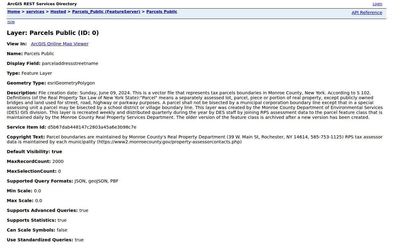
The service view is a starting layer for Chili neighbors research: use its parcel geometry to create a short, defensible adjacent-parcel list, then verify each record with the relevant custodian.
Chili Neighbor Voter Tool Limits
The County’s Lookup Ballot Info asks for street number, an autocomplete street name, ZIP Code, and, when applicable, party. It returns a sample ballot and Election Day polling-place information for the selected address. It does not display a person’s name, registration status, date of birth, or voting history. Selecting the street from autocomplete and matching the County’s address format matters.
New York registration records have a different access path. Election Law §§3-220 and 5-500 govern supervised inspection and protected fields, and a voter-file request requires the Election Law §3-103(5) elections-purpose statement. Election-district and legislative-district maps can add civic geography to a Chili block, but an election map is not a list of neighbors. Protected and confidential voters must not be exposed.
Note: Use ballot tools to verify polling context for one address, not to build a personal-location list for a block.
Chili Neighbor Alert Zones
Chili’s Notify Me page offers a public civic-geography layer rather than a directory of residents. Its four alert zones are NW, SW, NE, and SE. Their descriptions use Chili-Center Coldwater Road, Paul Road, King Road, Chili Avenue, Scottsville-Chili Road, and Union as dividers. Alerts and public board notices can help place a parcel in its town-notice context.
Those zones do not identify households, association members, or a block watch. They are still useful when comparing a target parcel with roads and town notice areas, especially when a block crosses familiar postal or hamlet labels.
The official Notify Me zone page shows the public alert geography.
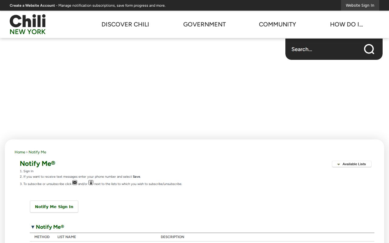
Use the zone description as a civic reference for Chili neighbors, then return to parcel boundaries for the exact properties that adjoin an address.
Chili Neighbor Association Gaps
No official comprehensive Chili HOA, neighborhood-association, block-watch, or civic-council roster was located in the researched sources. The practical community layer is therefore an inventory of public institutions and their status, not a list of private members. Town agendas can identify public proceedings. They cannot establish that every person near a hearing parcel belongs to a group.
| Community source | Public directory status | Useful route |
|---|---|---|
| Notify Me zones | Public alert subscriptions only, no member list | Town notification page |
| Town, Planning, and Zoning boards | Agendas and minutes may name public participants; no community roster | Town meeting and public-notice materials |
| Historic Preservation and Library boards | Public governance, not a neighborhood membership directory | Town and library public meetings |
| Historical groups and congregations | No verified current membership directory | Town Historian or the organization’s own contact channel |
| Fire houses and civic clubs | No public block roster confirmed | Official organization or Town contact route |
For a specific subdivision, request a narrowly defined public notice or filed association document from the Town if one exists. Any direct contact information should come from an organization’s current, self-published channel.
Chili Neighbor Postal Edges
Postal city and ZIP labels can shift at a parcel edge without changing the Town of Chili situs. Town Hall uses Rochester 14624, while the assessment-roll example for 3824 Chili Avenue carries a Churchville 14428 mailing label. A County parcel-card example for 2 West Ham Circle uses North Chili 14514. These labels should be recorded as separate postal or mailing facts rather than merged into the municipal location.
Use USPS for a mailing result, the County ZIP layer for postal geography, and the assessment roll or parcel card for the municipal situs. Legal descriptions and tax-map numbers are valuable bridges when an old road name, rural route, or postal label does not match a modern address. The County Surveyor’s great-lot and subdivision resources add land context, not a household record.
Note: A parcel owner’s mailing address may be out of town and does not establish every current resident of that property.
Official and Commercial Chili Neighbor Sources
Official records and commercial neighbor-search categories answer different questions. The official route provides a traceable custodian, a record date, and a defined access rule. Commercial listings may combine public and non-government data, may charge for results, and can carry stale or mismatched information. They do not replace a parcel card, roll, deed instrument, or controlled voter-record process.
| Source category | Best use | Important limit |
|---|---|---|
| Official parcel and assessment records | Check a selected property, identifiers, and recorded-owner fields | They do not identify every household member |
| County Clerk land records | Confirm recorded instrument parties and ownership timing | Guest indexing and document-image access differ |
| Election lookup and maps | Check one address’s ballot or district geography | Not a block roster or voter-history display |
| Commercial neighbor-search category | Generate a question to verify with a custodian | Accuracy, cost, source dates, and lawful-use rules vary |
For personal, lawful block research, record where each fact came from and its date. That approach leaves a useful audit trail when two sources disagree.
Privacy Limits for Chili Neighbors
Several parts of a block are not public resident sources. The assessment roll does not supply non-owner household members. Utility, delivery, school-specific student, and private association records are not public directory material in the researched sources. Sealed court, vital, adoption, and restricted military records remain restricted. A mailing address can belong to a business, a family address, or an owner living elsewhere.
New York’s Address Confidentiality Program gives qualifying participants a substitute mailing address and mail forwarding. Executive Law §108 requires state and local entities to safeguard the actual location and use the substitute address in public records. Confidential-voter procedures also protect eligible voters. For a correction, contact the record custodian instead of copying sensitive documents into a general request.
Lawful use. Chili neighbor records are for personal, lawful research such as property curiosity, civic transparency, and reconnecting. Never use them to watch, harass, intimidate, or harm anyone; New York law restricts stalking and harassment.