
Finding Chili Streets by Address
A current street search starts with one parcel, not a guessed list of households. The Chili assessment roll and Monroe property card can show a property location, owner name, owner mailing address, parcel ID, deed book/page, class, assessment, districts, and sales clues. The map and recorded-instrument index add context. A listed owner is not automatically every person who lives at the address, and a tax mailing address can be outside Chili.
Use the same address spelling across each official channel. Search variants such as Road and Rd, Avenue and Ave, or Circle and Cir when an autocomplete field does not return the expected result. Save the roll year, property-card sync date, and recording date alongside the street address. Those dates keep a street directory result from being read as a timeless fact.
- Enter the address, owner, or tax-map number in the Chili assessment-roll or county property route, then record the parcel ID and the situs address.
- Open the same parcel in the public GIS layer and verify the Town of Chili SWIS code, 262200, before moving to nearby polygons.
- Use the roll's deed book/page or a party and address search in SearchIQS to locate the recorded transfer.
- Use Monroe's ballot lookup only for the selected address's ballot and polling context. It is not a named street roster.
- For past occupants, test the address in a house directory, later street section, suburban directory, census, newspaper, and map collection.
Chili Street Directory Assessment Route
The Chili Assessor supplies final assessment-roll links for 2024, 2025, and 2026. The roll is a useful street directory foundation because it places property location, current owner name, current owner address, parcel number, school district, assessment and deed-book/page in one record. Monroe County Real Property Services maintains tax maps and the county property route. Use the office or a roll when a portal result needs confirmation.
| Field or control | How it helps a street search | Important limit |
|---|---|---|
| Property address | Finds the situs record, often through exact autocomplete | Street-style variants can matter |
| Owner name | Finds a current roll entry | Ownership is not a household list |
| Parcel or tax-map ID | Connects roll, GIS, card, map, and deed trail | It is not a street number |
| Roll year | Shows which assessment snapshot is being read | Recent links do not prove deeper retained rolls |
| Municipality/SWIS | Confirms Chili as 262200 in the parcel service | Postal city remains a separate field |
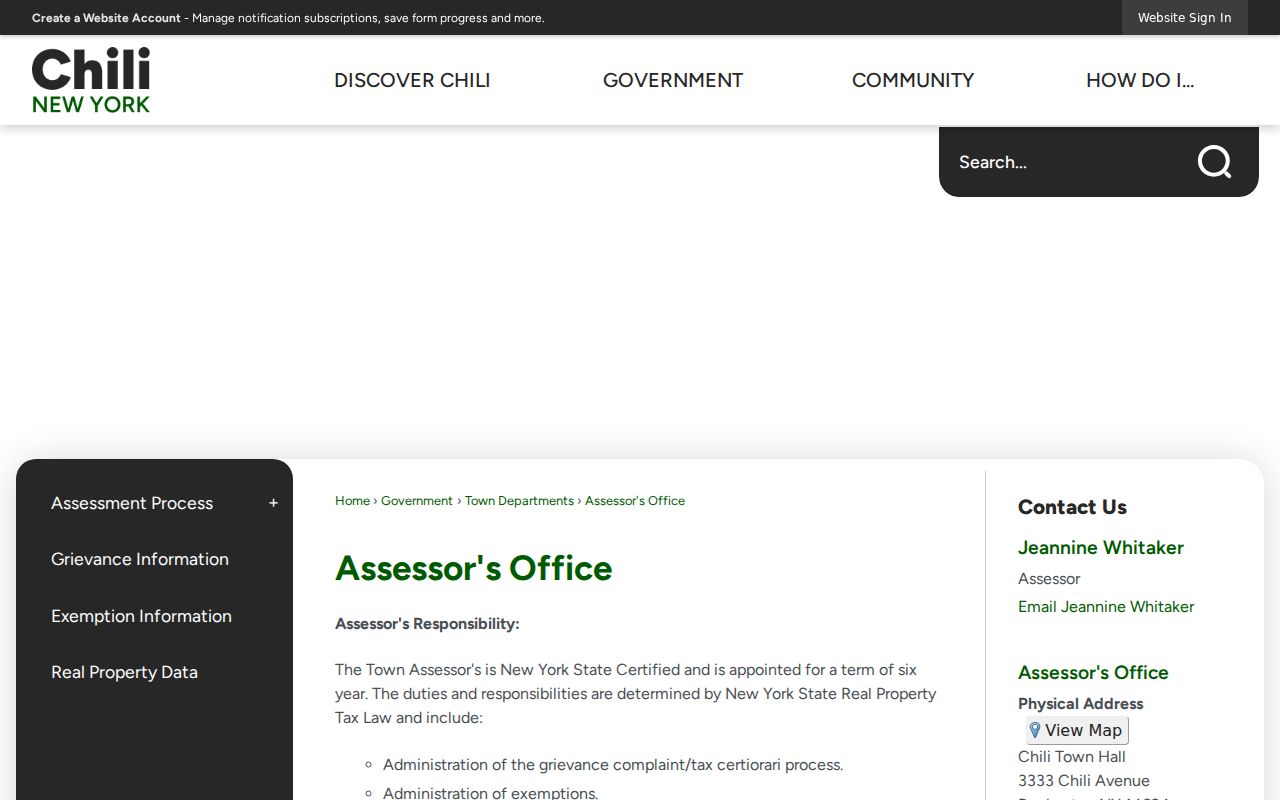
The assessment-roll entry page is shown below. It is the official route for choosing the next property or owner key.
The 2024 roll demonstrates the distinction clearly: 3824 Chili Avenue is a Chili parcel with a Churchville 14428 owner mailing label. Read the property location and owner mailing address as separate columns.
Mapping Chili Street Parcels
The Monroe Parcels Public service is a polygon layer with display field parceladdressstreetname. It supports address or attribute queries, map selection, zooming, panning, and inspection of parcel identifiers. Its available layers can include parcels, boundaries, ZIP polygons, centerlines, and census geography. The service was created June 9, 2024, recreated weekly, and distributed quarterly, so a saved result should retain its access date.
Walk a road segment by clicking one parcel at a time and then opening the assessment-roll or property-card entry for each selected ID. Neighboring shapes explain spatial adjacency. They do not identify occupants. No official source inspected documented a fixed radius or buffer control, so a street-by-street result should rely on selected parcels rather than a claimed distance search.
The public Chili parcel layer provides the map-to-record connection.
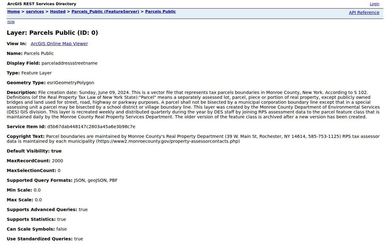
GIS becomes most useful when its parcel ID is carried into the property card and then into the Clerk's deed index. The same map can show ZIP or town boundaries, but those layers answer geography questions rather than ownership or residency questions.
Chili Records Searchable by Street
Address-keyed records do not all reveal the same thing. The assessment roll identifies the recorded owner and property snapshot. The parcel card adds assessment, lot, building, utility, sales, and map details. The Clerk index records instruments and parties. A tax route can show bills and transaction history. Building and code records can be tied to an address, but the Town's CloudPermit path does not expose a stable public result index. A narrow FOIL request is the documented fallback for releasable permit or complaint material.
| Street record | Keeper | What it can show | Access route |
|---|---|---|---|
| Final assessment roll | Chili Assessor | Owner, mailing, situs, parcel, assessment, districts, deed book/page | PDF links or office |
| Parcel card | Monroe RPTS | Property facts, sales history, map links | County property detail route |
| Parcel GIS | Monroe GIS/RPTS | Polygon, address identifiers, SWIS, adjacent geometry | Public map or REST service |
| Deed index | County Clerk/SearchIQS | Parties, type, date, legal record, book/page | Guest index; images differ |
| Permits or code | Chili Building Department | Address and date-bounded work or complaint lead if releasable | CloudPermit or FOIL fallback |
Note: A permit, complaint, tax bill, or parcel card should be read only for the question it answers, not as proof of every household member.
Chili Street Deed Chain
Recorded ownership moves backward through the Monroe County Clerk. Start with the current owner, tax-map number, situs address, deed book/page, subdivision lot, and recent sale history on the roll or card. In SearchIQS, search the party, property address, tax ID, book/page, or approximate recording date. Then read the instrument type, party roles, legal description, and recording placement. A grantor is the party conveying an interest; a grantee receives it.
For a street chain, search the seller on the newer transfer as a grantee on an earlier one. Constrain common names with the parcel number, municipality, legal description, date, and liber or book/page. The current county workflow identifies deeds after 1975 in the digital database. Before 1975, use grantor-grantee index books and microfilm at the County Clerk's Room 105. Choose the transfer year and surname initial, obtain the liber/page, then view the film.
A deed chain follows recorded ownership, not who occupied every address. Historical occupancy belongs in the city and house directories, census, newspaper, and probate layers. The previous residents route takes that one-address trail farther back in time.
Chili Street Directory History Layers
Monroe's Lookup Ballot Info requires street number, selected street name, ZIP Code, and optionally party. Its result is a sample ballot and Election Day polling-place context. It does not provide every registered voter on a Chili street. Registration records have separate supervised-inspection and request rules under Election Law §§3-220, 3-103(5), and 5-500. Confidential voters and protected fields remain excluded.
For historical street directory evidence, Rochester House Directories cover 1892-1920. From 1922 onward, house information can appear in the back of the main directory. Rochester Suburban Directories begin in the library guide at 1930, but early coverage is uneven by town, so each Chili volume needs checking. Pair a directory year with released federal census years, maps, and a deed date. Do not retroactively add a modern ZIP to an old entry.
- Parcel
- A tax-map unit of land used to connect roll, GIS, and property-card records.
- Situs address
- The physical property location, distinct from a tax mailing address.
- Plat
- A map of lots or subdivisions used for legal and geographic context, not an occupancy record.
- Criss-cross directory
- An address-to-occupant or reverse directory section, when that volume includes one.
Chili Street and Postal Labels
Chili is a Monroe County town, not the City of Rochester, even though Rochester appears in many official mailing addresses. Individual property records can also show Churchville, North Chili, or Scottsville postal labels. The County ZIP boundary service visibly contains 14428, 14514, 14546, 14623, and 14624. Use USPS ZIP Lookup to standardize a delivery address, then compare it with the GIS parcel, assessment-roll situs, and legal description.
No official source located a Chili-wide renumbering or renamed-street year. When an old address disappears, test an older road name, rural route, owner, lot/subdivision description, and map position. County Surveyor resources on historic Chili lots and subdivisions can bridge the modern address to the older legal geography.
Chili Street Permit Record Requests
Chili's Building Department lists new construction, alterations, decks, pools, signage, compliance certificates, floodplain work, easement work, permit extensions, plumbing licenses, fill, and related application categories. The ordinary CloudPermit route requires an account. The inspected official sources did not reveal a stable public result search for permits, inspections, complaints, or code cases. That absence calls for a narrow Town request, not an assumption that no record exists.
Describe the street address, date range, permit or complaint category, and any known case number when asking the Town for releasable records. A code complaint or property-access agreement can document an address and an action, but it does not prove that a named person lives there. Keep the request focused on a specific existing record under the Town's FOIL procedure.
Chili Street Directory Date Checks
Attach a date to every entry in a street directory notebook. A roll is a year-specific assessment snapshot. The sample county property card carries both a July 1, 2024 final-roll date and a September 13, 2024 synchronization date. A deed has its recording date, a directory has a publication year, and a ballot result describes current election context. Those differences can explain why official sources appear to disagree.
Older tax-roll retention is not guaranteed in New York towns, according to the County Historian guidance. If an earlier street entry cannot be found, move to grantor-grantee books, maps, directories, newspaper notices, and census sources rather than treating one missing roll as proof that the address or household never existed. The County Surveyor's historic subdivision and Great Lot material can preserve a lot or legal description when a road label changes. A current tax-map number, a deed's legal description, and a published directory year form a stronger record chain than any one field standing alone. Check the custodian and access method for every older item before relying on a copy.
Chili Street Directory Privacy Limits
A street directory cannot establish every person living in a home. Renters and other non-owner household members are not supplied by the assessment roll. Utility, delivery, school, private association, sealed-court, restricted vital, and protected-address records are not ordinary street-search sources. An owner mailing address may belong to a business, family member, or an out-of-town correspondence address. These limits prevent a map or roll from becoming a personal profile.
New York's Address Confidentiality Program and confidential-voter process protect qualifying addresses. Keep sensitive personal data out of notes and ask the custodian about a correction or a release limit rather than trying to infer protected information from nearby records.